@luisPDAN6
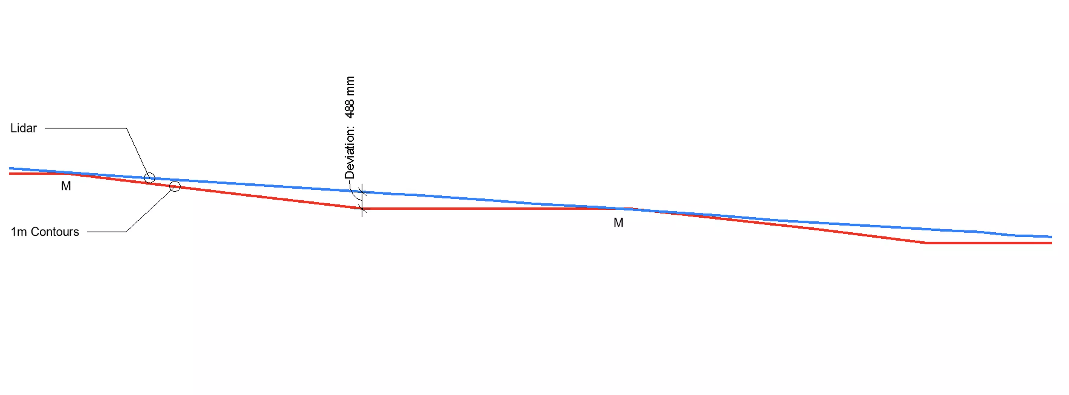
An airborne Lidar survey has theoretically a 2-3 cm max deviation depending on the sensor. That is a fairly good starting point in terms of accuracy and should generally avoid major changes of floor levels, redoing stairs, and avoid significant revisions for the other consultants at later stage (detail design for instance).
I think you may be citing the precision of ground based lidar measurements versus airborne surveys. My experience is that a lidar survey from a series of points on the ground or from a roof will have 2-3cm precision from a fixed position. As a comparison, the publically available aerial lidar data from a moving plane (trains or automobiles 😁) in my area will be of the order de 20cm. You get what your tax dollars pay for!
See the PDF attached and extract below.
altimetrie = height dimensions and planimétrie = plan dimensions

As for a drone survey, I suppose there are high end models equipped with 2-3cm precision lidar.
Lidar clouds can be made thinner to avoid taking too many points into the Revit topography. In that way it is possible to get a well balanced net of points and prevent over flooding Revit with information. It is also possible to have two levels of detail, one for the site and another for the surroundings.
Yes, this is exactly what I do using Recap in the AEC Collection. I will isolate the Lidar points within the sights from without and save them to two distinct lidar files. The Decimate tool in Recap will then remove a percentage of points from the originally dense data set to whatever density I feel is enough (ex. an 80% reduction of points @ 20cm spacing will give a 1m spacing of points).

-luc