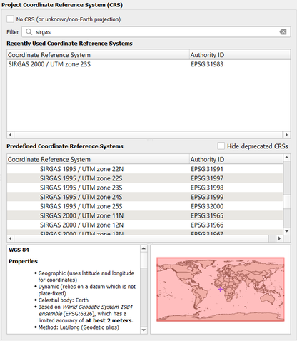
It would be interesting in InfraWorks when assigning the model's coordinate system to also have a column of the EPSG codes in the table. The EPSG codes facilitate BIM and GIS integration workflows, as they are unique for each system. This makes it easier to identify the coordinate system when importing or exporting files.
InfraWorks (code and description)

QGIS (name and EPSG code)
