Message 1 of 23
Not applicable
08-12-2014
09:54 AM
- Mark as New
- Bookmark
- Subscribe
- Mute
- Subscribe to RSS Feed
- Permalink
- Report
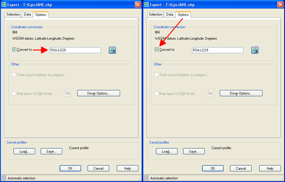
I am busy exporting .dxf and .dwg files to Global Mapper but it says they don't have projection information. I have set the coordinate system and as part of that datum there is a description of what projection is used. Now I have to find the datum and projection and it is not that easy to get this right. Does anyone have experience exporting ACAD files for use in other GIS software? I would make life easier if the coordinate system I choose in ACAD could be read in the other woftware.
Solved! Go to Solution.

