


- Mark as New
- Bookmark
- Subscribe
- Mute
- Subscribe to RSS Feed
- Permalink
- Report
Hello everyone!
I was wondering if you guys can help me with something I’m trying to achieve with InfraWorks 360, but didn’t get a satisfactory result.
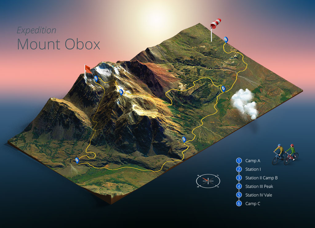
You may know the Photoshop plugin “3D Map Generator – Atlas“ (https://www.3d-map-generator.com/) that generates really nice 3D isometric views of aerial images, with that “box cut” detail of the terrain and the "aerial clouds".
I’ve tried to reproduce that effect within my InfraWorks 360 models, by exporting the EG surface to Civil 3D, getting the surface boundary, using “loft” to extrude it until an elevation bellow and making a solid of it. When I export it as FBX and import again with InfraWorks 360, it happens to not to fit properly in the model, giving a weird overlapping effect on it.
I was thinking about the lighting of the model too, it has a better result if the sky turned off, giving a blank background so we can change it color later.
Thanks!
Solved! Go to Solution.