InfraWorks 360 Roadmap Check In
- Mark as New
- Bookmark
- Subscribe
- Mute
- Subscribe to RSS Feed
- Permalink
- Report
At Autodesk, we know that feedback from you is what makes our products better. Not only do we want to hear your thoughts about what we've released and shipped so far, we also want your feedback on our plans. While we've always shared our plans in the form of product roadmaps, it's never been easy information to come by. You had to know someone who knew someone who could get you an invitation to an exclusive meeting where product roadmaps were shared with a small group. But times are changing and I'm excited to have the chance to try something new: sharing our product roadmaps, publicly.
First, some ground rules:
- We're sharing some of the highlights of our product development roadmap to give you a sense of the general direction InfraWorks is heading. There's a lot more work going on behind the scenes and this roadmap doesn't reflect everything the development teams are working on.
- We're planning to periodically update the roadmap because it is subject to change. When we can, we'll also share videos that show off some of the work-in-progress software.
- Roadmaps are plans, not promises. We're as excited as you to see new functionality make it into the products, but the development, release, and timing of any features or functionality remains at our sole discretion.
- These roadmaps should not be used to make purchasing decisions.
Cool? Cool. Now let's talk about the great stuff planned for InfraWorks 360.
Product Roadmap
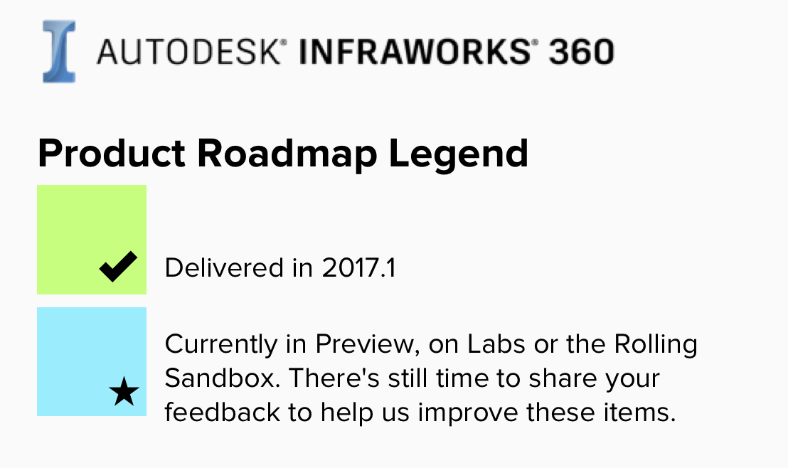
We uses themes, groups, and colors to keep track of the roadmap details.

Anything marked with a star means it's available for use via Autodesk Labs, the InfraWorks 360 Rolling Sandbox, or as Preview functionality in the current release.
We've grouped our plans by theme:
- Design and Engineering Experience: This is how InfraWorks 360 provides views, feedback and an appropriate level of control while modeling assets.
- Modeling and Analysis: As InfraWorks 360 matures, we want you to author your infrastructure building information models with assets that are parametric, conditional, extensible, associative and detailed, as well as with analysis and simulation tools.
- Connected Workflows: Infrastructure data is available to a variety of products - Autodesk products, of course, but others as well. We know that your projects often span many products, which is why InfraWorks 360 supports a spectrum of infrastructure data types, and why we’re continuing to develop cloud-centric cross product workflows.
- Platform: An ecosystem of services enabled through Forge, consisting of APIs and other resources allowing developers to extend InfraWorks 360 with more data and experiences.
Here's a breakdown of the roadmap details by theme.

You'll see InfraWorks 360 evolve as an engineering design tool. We're working on the best ways to report quantities data and display terrain contours in the model, as well as looking at ways to annotate your models so that you clarify design intent with notes and labels.
Teams are busy working on new modeling, analysis and simulation tools for InfraWorks 360. Also in the works are tools for bridge modeling and analysis, land development, as well as road and highway design. Many of them are already available in the Rolling Sandbox.

We're looking at ways you can share information without creating "data silos" or unnecessary copies of data. Making infrastructure data available to a variety of products is about more than new import/export tools. Connecting our products to a common data environment in the cloud is a key to successful collaboration and preserving the integrity of your data. One area we're also looking at is to identify and improve processes for sharing geolocation data across many different types of products.

Have you seen the Forge Platform? Autodesk has established a set of cloud services, APIs and SDKs for developers who want to data, apps, experiences, and services. As Forge evolves, you’ll start to see APIs and services specific to infrastructure. In the meantime, we are planning to release more standards, not unlike the country kits for Civil 3D, that allow designers and engineers in Canada, Europe and Asia to take advantage of the rules-based road design tools in InfraWorks 360 by using country-specific standards.
-----
This is a look at just some of the plans for InfraWorks 360. There's a lot more going on, so don't assume the worst if you see something missing. Periodically I’ll share roadmap updates here. In the meantime, let us know your thoughts on our plans. Like I said before, your feedback helps us focus on the right things to deliver great products.
Product Manager, Autodesk Takeoff


