Community
- Forums Home
- >
- AutoCAD Map 3D Community
- >
- AutoCAD Map 3D Forum
- >
- Re: Map coordinates change when dwg is queried
AutoCAD Map 3D Forum
Welcome to Autodesk’s AutoCAD Map 3D Forums. Share your knowledge, ask questions, and explore popular AutoCAD Map 3D topics.
Turn on suggestions
Auto-suggest helps you quickly narrow down your search results by suggesting possible matches as you type.
Reply
Topic Options
- Subscribe to RSS Feed
- Mark Topic as New
- Mark Topic as Read
- Float this Topic for Current User
- Bookmark
- Subscribe
- Printer Friendly Page
Message 1 of 3
Anonymous
408 Views, 2 Replies
06-28-2007
10:40 AM
- Mark as New
- Bookmark
- Subscribe
- Mute
- Subscribe to RSS Feed
- Permalink
- Report
06-28-2007
10:40 AM
Map coordinates change when dwg is queried
I open a new drawing and assign it Lat Long NAD 83 coordinates. The Tracking Coordinates box and the box in the bottom left hand side of the status bar all track the same Lat Long Coordinates.
I then attach a drawing that is in State Plan coordinates and Query the entire drawing.
Here is where the problem occurs. Once I zoom extends to see the entire map the Tracking Coordinates box no longer tracks anything and the box in the status bar show it tracking the original State Planes coordinates from the queried drawing.
I thought that querying a drawing into another would make it use the coordinates assigned to the working drawing.
Am I wrong in thinking this?
2 REPLIES 2
Message 2 of 3
06-28-2007
12:13 PM
- Mark as New
- Bookmark
- Subscribe
- Mute
- Subscribe to RSS Feed
- Permalink
- Report
06-28-2007
12:13 PM
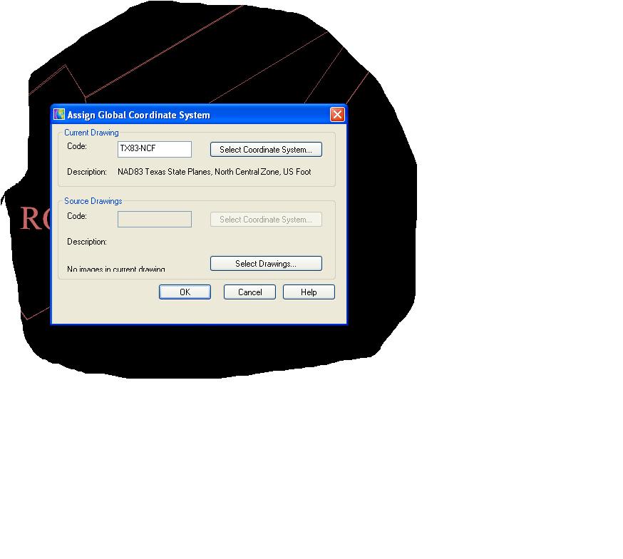
When you attached your drawing (state planes) before you run the query go to coordinate system again and under source drawing click select drawing and select your state plane and give it the state plane cord system. Then run your query.
Reply
Topic Options
- Subscribe to RSS Feed
- Mark Topic as New
- Mark Topic as Read
- Float this Topic for Current User
- Bookmark
- Subscribe
- Printer Friendly Page

