Community
AutoCAD Map 3D Forum
Welcome to Autodesk’s AutoCAD Map 3D Forums. Share your knowledge, ask questions, and explore popular AutoCAD Map 3D topics.
Turn on suggestions
Auto-suggest helps you quickly narrow down your search results by suggesting possible matches as you type.
Reply
Topic Options
- Subscribe to RSS Feed
- Mark Topic as New
- Mark Topic as Read
- Float this Topic for Current User
- Bookmark
- Subscribe
- Printer Friendly Page
Message 1 of 13
Anonymous
945 Views, 12 Replies
09-08-2012
02:45 AM
- Mark as New
- Bookmark
- Subscribe
- Mute
- Subscribe to RSS Feed
- Permalink
- Report
09-08-2012
02:45 AM
Hide a raster
Hi !
In AutoCAD Map 2013 I opened a georeferenced raster image by using FDO.
How can I hide unnecessary area of the raster map. In Raster Design has several functions to do this operation. But it work only then when you open it by Raster Design INSERT command. In FDO how can I do it?
Thanks all!
12 REPLIES 12
Message 2 of 13
09-08-2012
02:58 AM
- Mark as New
- Bookmark
- Subscribe
- Mute
- Subscribe to RSS Feed
- Permalink
- Report
Message 3 of 13
09-08-2012
03:18 AM
- Mark as New
- Bookmark
- Subscribe
- Mute
- Subscribe to RSS Feed
- Permalink
- Report
09-08-2012
03:18 AM
No. _wipeout hides only inside area of raster. In AutoCAD has CLIP and In Raster Design has CROP commands. I want to apply crop or clip to raster. Do you know any AutoCAD Map command like crop or clip for the FDO objects?
Message 4 of 13
09-08-2012
06:03 AM
- Mark as New
- Bookmark
- Subscribe
- Mute
- Subscribe to RSS Feed
- Permalink
- Report
09-08-2012
06:03 AM
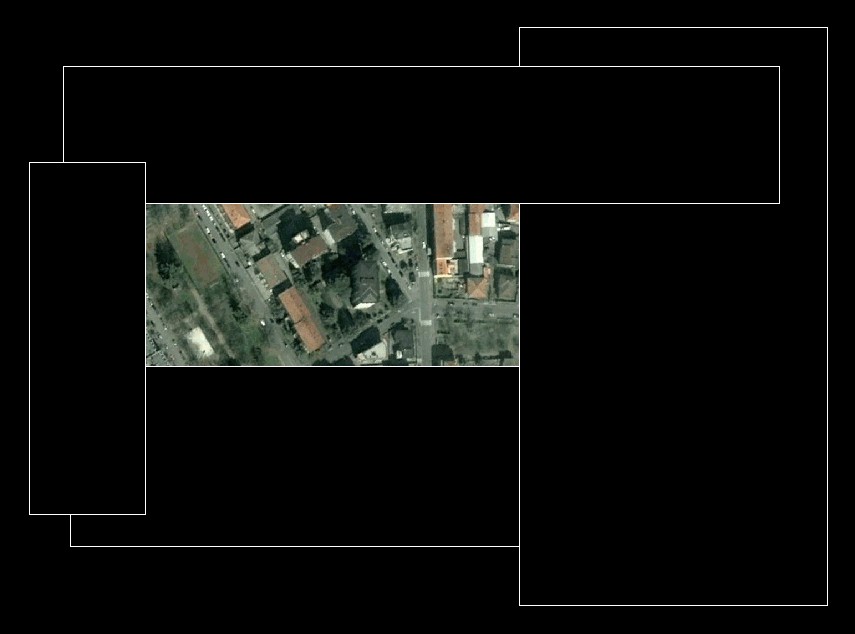
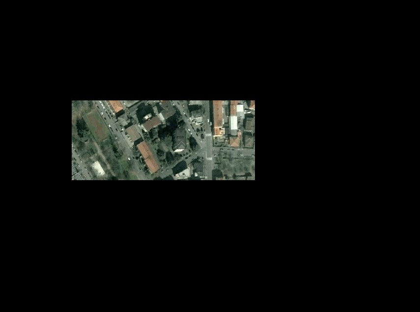
I meant: use some wipeouts to hide "around" the center of the image, then put off the wipeout frames, and you're done.
Check the attached out: before => in the meanwhile => after...

Message 5 of 13
09-08-2012
08:08 AM
- Mark as New
- Bookmark
- Subscribe
- Mute
- Subscribe to RSS Feed
- Permalink
- Report
09-08-2012
08:08 AM
antoniovinci, thank you very much. It is a good methot.
But, I want to know from moderators are there rational commands to do this by AutoCAD Map?
Message 6 of 13
09-10-2012
01:00 AM
- Mark as New
- Bookmark
- Subscribe
- Mute
- Subscribe to RSS Feed
- Permalink
- Report
09-10-2012
01:00 AM
bingeomatics wrote:I want to know from moderators
Waiting for the moderators' answer (I can't stop chucklin', man..), let me show you an advanced wipeout technique.
As you saw, you can use some rectangular wipeouts to mask your image around the center: the result is very fast, but straight.
What about clipping by exact geographical border, like this red one?

To do that, you should only break the border in 2 points, and "build" two new closed polylines:

Now you can apply the _WIPEOUT command:

Finally you switch their frames off:

Message 7 of 13
09-10-2012
01:42 AM
- Mark as New
- Bookmark
- Subscribe
- Mute
- Subscribe to RSS Feed
- Permalink
- Report
09-10-2012
01:42 AM
But, my rasters are scanned several topographical maps and I want to hide these outeside from geographic frame. If I will apply wipeouts neighbour maps will above wipeouts. too.
Message 8 of 13
09-10-2012
03:08 AM
- Mark as New
- Bookmark
- Subscribe
- Mute
- Subscribe to RSS Feed
- Permalink
- Report
09-10-2012
03:08 AM
Here's the two drawbacks when hiding with wipeouts:
- even if you mask some parts of an image, it stays completely in memory
- the resulting hidden image is not georeferenced, because it still "belongs" to the entire one.
To resolve this issue, I advise to clip by shape with the opensource Qgis: in the attached file (Elba island, West Italy, EPSG:23032) a Geotiff "before", the clipping shapefile, and the Geotiff "after".
If you load the clipped Geotiff in Acad, and switch its transparency ON in the props, only the land will be opaque.
Message 9 of 13
09-10-2012
03:33 AM
- Mark as New
- Bookmark
- Subscribe
- Mute
- Subscribe to RSS Feed
- Permalink
- Report
09-10-2012
03:33 AM
Hmmm, antoniovinci, thank you very much to try help me.
I understood that if I want to use a raster, I must to clip the raster by Autodesk Raster Desig beforehand and only after it I can open the raster in FDO. Am I right?
Message 10 of 13
09-10-2012
03:41 AM
- Mark as New
- Bookmark
- Subscribe
- Mute
- Subscribe to RSS Feed
- Permalink
- Report
Message 11 of 13
09-10-2012
04:43 AM
- Mark as New
- Bookmark
- Subscribe
- Mute
- Subscribe to RSS Feed
- Permalink
- Report
09-10-2012
04:43 AM
I know RD and I have did crop raster many times. It works good.
I need often to look at little areas of big rasters provisionally (temperary) in AutoCAD Map every day. I thought that whether has a way to open raster in FDO without cropping in Raster Design. It takes many times.
Thank you, antoniovinci1
Reply
Topic Options
- Subscribe to RSS Feed
- Mark Topic as New
- Mark Topic as Read
- Float this Topic for Current User
- Bookmark
- Subscribe
- Printer Friendly Page
Forums Links
Can't find what you're looking for? Ask the community or share your knowledge.
Post to forums
